
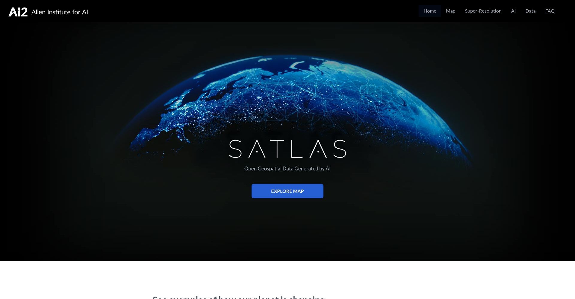
Satlas
Category: Business / Admin, Content Creation, Education / Information
Purpose:
Satlas provides robust AI-powered tools for geospatial data analysis and management. It’s designed for researchers, urban planners, and environmental scientists to facilitate precise mapping, visualization, and data-driven decision making. Satlas enhances data accuracy and expedites project timelines through its automated processes, making complex geospatial tasks simpler and more accessible.
Please support our work by using the affiliate link provided. We thank you for your contribution to help us improve our site and services for everyone!
Key Features:
- AI-Powered Analytics: Advanced analytics for precise geospatial insights.
- Data Visualization: Intuitive visualization tools for better data interpretation.
- Automated Mapping: Effortlessly create and update maps with automation.
- Collaboration Features: Share and collaborate on projects in real-time.
- Scalable Solutions: Suitable for both small projects and large-scale initiatives.
Model Type: FREE/PAID
Similar Tools


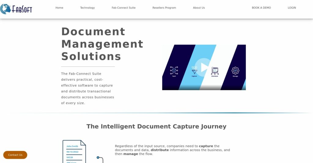
Fab-Connect Suite offers AI-powered document capture and management tools for seamless business workflow.

Review Satlas.